
Exhibition stand builders
Exhibition stand builders
INTERGEO is an international trade fair and conference dedicated to geodesy, geoinformation and land management. It brings together surveying professionals, engineers, geospatial technology developers, mapping specialists, infrastructure planners and organisations using location-based data to understand and manage the built and natural environment.
The event covers a broad range of technologies, including precision surveying instruments, GNSS positioning systems, laser scanning, LiDAR, photogrammetry, remote sensing, geographic information systems (GIS) and digital mapping. Building Information Modelling (BIM), digital twins, drone-based surveying and geospatial data analytics also demonstrate how location intelligence supports applications across construction, infrastructure, urban planning, environmental monitoring and land management.
For companies introducing surveying equipment, presenting geospatial software or showcasing new methods of capturing and analysing spatial data, INTERGEO provides an opportunity to demonstrate technical capabilities and connect with engineers, surveyors, technology specialists, public-sector organisations and potential business partners.
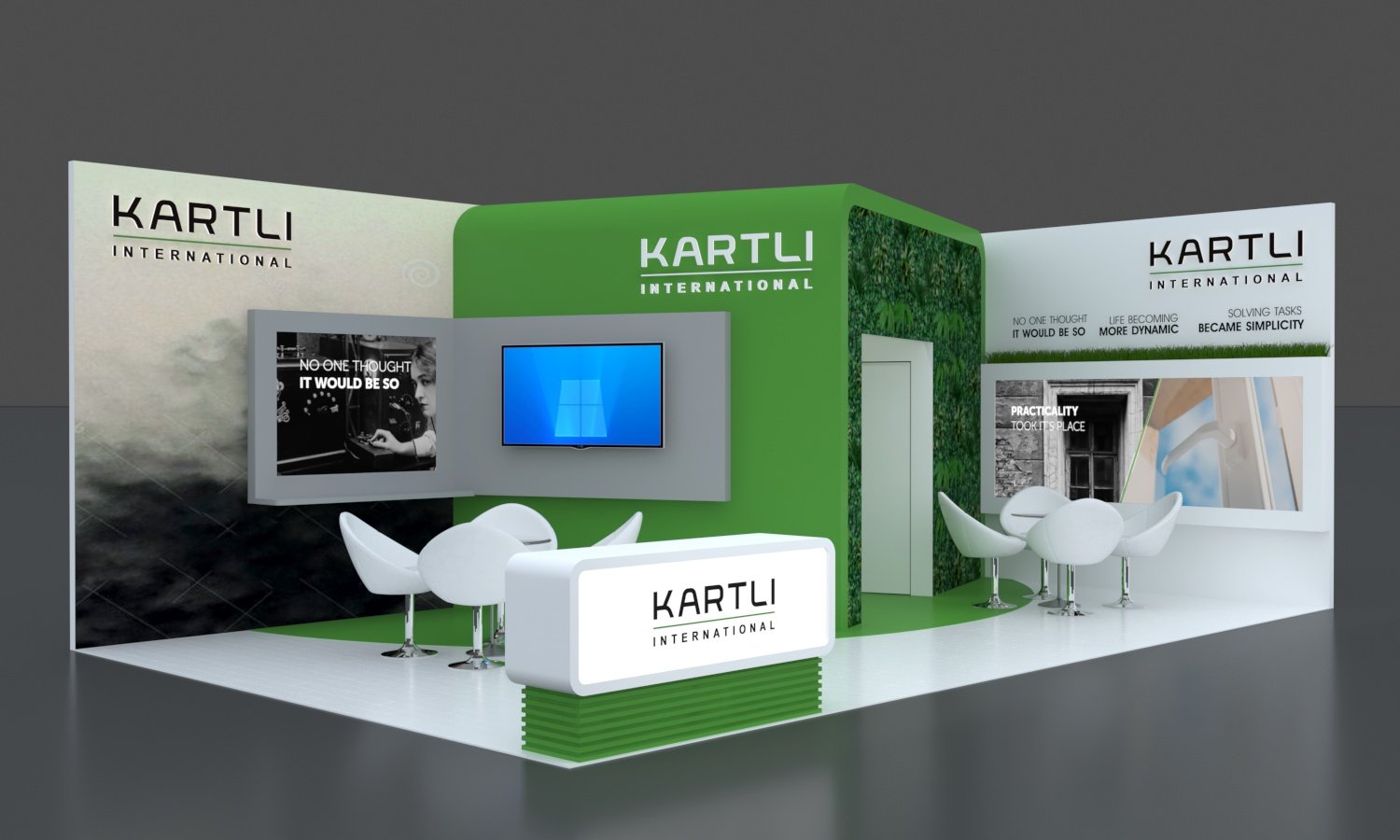
Activteam designs and builds custom exhibition stands for companies exhibiting at INTERGEO. Each project is developed around the client's technology portfolio, brand identity, target audience, available exhibition space and commercial objectives. Custom architecture, branded graphics, integrated screens, equipment displays and demonstration areas can be combined to create an exhibition environment suited to the company's products and services.
Geospatial exhibitors often need to explain technologies that combine physical equipment, specialised software and complex digital information. A carefully planned stand can incorporate surveying instrument displays, interactive mapping presentations, 3D visualisations, digital models and dedicated areas for technical demonstrations, helping visitors explore the applications of the solutions being presented.
A custom exhibition stand can also provide a professional setting for discussing technical projects, demonstrating software capabilities and developing relationships with surveying firms, engineering companies, infrastructure specialists and other industry professionals. Activteam coordinates the agreed project stages, from design development and custom manufacturing through transportation, on-site installation and dismantling, in accordance with the approved concept and exhibition requirements.
At INTERGEO, exhibitors present technologies that capture, process, visualise and interpret spatial data. Surveying instruments, GNSS receivers, laser scanners, drones and measurement systems have different display requirements from GIS platforms, mapping software and digital modelling solutions. A custom exhibition stand needs to accommodate these different technologies while making their capabilities accessible to visitors.
Manufacturers of surveying equipment may require dedicated display counters or secure presentation structures that allow visitors to examine instruments, controllers, sensors and accessories. Equipment can be arranged by application or product category, helping surveyors, engineers and other specialists compare solutions and discuss their technical features with the exhibitor's team.
Software developers and geospatial data providers have different needs. Large screens, interactive displays and demonstration stations can present digital maps, point clouds, terrain models, aerial imagery and 3D visualisations. These presentations can help explain how captured data is processed and applied to surveying projects, infrastructure planning, construction, asset management and environmental monitoring.

The stand layout should also allow visitors to move comfortably between equipment displays and software demonstrations. Dedicated presentation areas and meeting spaces provide room for technical discussions with surveying firms, engineering consultants, construction professionals and potential project partners.
Activteam develops custom exhibition stand concepts around each client's products, software, technical requirements and available exhibition space. The design brings together equipment displays, digital presentation systems, branded graphics and practical meeting areas to create an exhibition environment suited to the company's work in geospatial technology.
Geospatial technologies are increasingly used as part of connected workflows rather than isolated surveying or mapping activities. Measurements captured in the field can become the foundation for digital terrain models, infrastructure plans, Building Information Modelling (BIM), asset databases and digital twins. INTERGEO brings together specialists working across these stages, making the relationship between data capture, processing and practical application an important subject for the industry.
For companies serving the construction and infrastructure sectors, geospatial data can support site assessment, engineering design, construction monitoring and the management of existing assets. Surveying, laser scanning and photogrammetry can provide detailed information about physical environments, while GIS and 3D modelling tools help professionals interpret that information and apply it to planning and decision-making.
Urban development presents further applications. Municipalities, planners and infrastructure operators use spatial information to understand land use, coordinate utilities, monitor environmental conditions and manage changes across complex urban areas. Digital twins can combine geographic information with engineering models and operational data to provide a more connected view of buildings, transport networks and infrastructure assets.
These workflows create opportunities for exhibitors to explain not only what their individual technologies do, but also how their solutions contribute to larger projects. Presenting practical applications, connected processes and industry-specific use cases can help visitors understand the relevance of a product or service to their own professional work.
Activteam develops custom exhibition stands around each client's technologies, applications and target audience, providing an environment suited to presenting geospatial solutions to surveying professionals, engineers, construction specialists and infrastructure decision-makers at INTERGEO.
Preparing for INTERGEO starts with understanding what your company needs to demonstrate and how visitors will interact with your technologies. A manufacturer presenting surveying instruments has different requirements from a software provider showing GIS platforms, a drone specialist demonstrating aerial mapping solutions or an engineering company presenting digital twins and 3D models. These differences should shape the exhibition stand brief from the beginning.
Before finalising the design, it is important to establish the equipment and presentation requirements. This may include the number and dimensions of instruments, screen sizes, computer and network connections, power supply, demonstration activities and any specific installation restrictions. Planning these details early helps avoid conflicts between the stand layout, technical installations and the intended visitor experience.
Activteam develops custom exhibition stands around each client's requirements, coordinating the agreed design, manufacturing, graphics, technical elements, transportation and on-site installation. The project specification and exhibition schedule guide the process, while the practical requirements of the venue are considered during planning.
Whether you are introducing new surveying equipment, launching geospatial software or presenting solutions for construction, infrastructure and digital mapping, Activteam can develop a custom exhibition stand tailored to your participation in INTERGEO.
Contact our project management team to discuss your requirements and request a custom exhibition stand design or quotation.